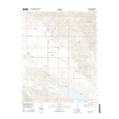
2015 Map of Williams Hill
USGS Topo · Published 2015About this map
Lockwood serves as the focal point of this rural Monterey County landscape, situated at the junction of Jolon Rd and Interlake Rd. The map illustrates a region defined by complex drainage systems and canyon networks that feed into the San Antonio River and the northern reaches of Lake San Antonio. Notable elevations such as Williams Hill and Jackson Hill rise above the surrounding terrain, while the Lockwood Cemetery and Martinus Corner provide specific points of interest for genealogical and local history research. The road network, including the Lockwood-Jolon Rd and Bradley-Lockwood Rd, follows the natural contours of the land, connecting scattered settlements with agricultural flats like Nelson Flat. This survey captures the rural character of the area before modern development, detailing the names of numerous canyons such as Bee Cave Canyon and Wildcat Canyon.
Find a feature on this map
40 named features on this map. Tap any name to fly to it.
Don’t see what you’re looking for? This feature index may not catch every label — zoom into the map to look around manually.
Map Details
Editions of this 2015 Williams Hill Map
This is the sole edition of this map. No revisions or reprints were ever made.
Other maps of this area

1912 · San Ardo
USGS Topo · 1:31,680

1915 · Priest Valley
USGS Topo · 1:125,000

1919 · King City
USGS Topo · 1:62,500

1919 · Bryson
USGS Topo · 1:62,500

1919 · Bradley
USGS Topo · 1:62,500

1939 · King City
USGS Topo · 1:62,500

1941 · San Ardo
USGS Topo · 1:62,500

1941 · Bradley
USGS Topo · 1:62,500

1941 · Bryson
USGS Topo · 1:62,500

1942 · Bryson
USGS Topo · 1:62,500