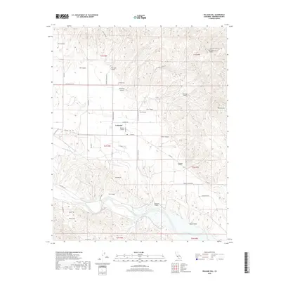
2018 Map of Williams Hill
USGS Topo · Published 2018About this map
The settlement of Lockwood serves as the focal point for this 2018 survey of Monterey County's inland valleys and foothills. Situated along a network of historically named routes like Lockwood-Jolon Rd and Bradley Lockwood Rd, the community is anchored by the Lockwood Cem. To the south, the San Antonio River flows through the landscape, joined by the seasonal waters of Deer Cr. The terrain is characterized by a series of named drainages and peaks, including Bee Cave Canyon and the prominent Williams Hill in the east.
Find a feature on this map
45 named features on this map. Tap any name to fly to it.
Don’t see what you’re looking for? This feature index may not catch every label — zoom into the map to look around manually.
Map Details
Editions of this 2018 Williams Hill Map
This is the sole edition of this map. No revisions or reprints were ever made.
Other maps of this area

1912 · San Ardo
USGS Topo · 1:31,680

1915 · Priest Valley
USGS Topo · 1:125,000

1919 · King City
USGS Topo · 1:62,500

1919 · Bryson
USGS Topo · 1:62,500

1919 · Bradley
USGS Topo · 1:62,500

1939 · King City
USGS Topo · 1:62,500

1941 · San Ardo
USGS Topo · 1:62,500

1941 · Bradley
USGS Topo · 1:62,500

1941 · Bryson
USGS Topo · 1:62,500

1942 · Bryson
USGS Topo · 1:62,500