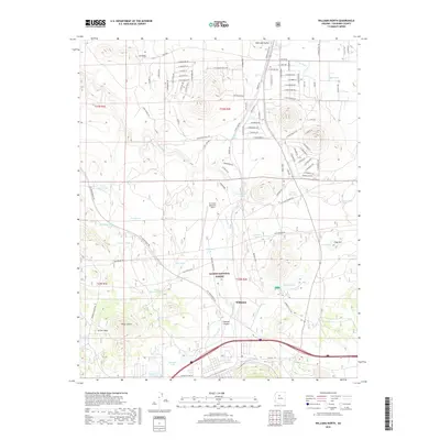
2018 Map of Williams North
USGS Topo · Published 2018About this map
The high-altitude landscape of the Colorado Plateau defines this area north of Williams, where the transition from forest to open valley is marked by a complex network of ranching and water management features. Kaibab National Forest lands dominate the southern half of the map, giving way to the broad expanse of Red Lake Valley and Indian Blanket to the north. Water security in this arid environment is evidenced by the density of named tanks and lakes, from the prominent Kaibab Lake and Cataract Lake in the south to smaller pastoral catchments like Sweetwood Tank and Muleshoe Tank scattered across the northern sections. Transportation and infrastructure are centered around H A Clark Memorial Field and the deeply incised Cataract Canyon, while residential development patterns appear along the northeastern drainage of Red Lake Wash. The map also preserves local topography names such as Three Sisters and Fues Hill, providing a detailed record of land use in Coconino County.
Find a feature on this map
73 named features on this map. Tap any name to fly to it.
Don’t see what you’re looking for? This feature index may not catch every label — zoom into the map to look around manually.
Map Details
Editions of this 2018 Williams North Map
This is the sole edition of this map. No revisions or reprints were ever made.
Other maps of this area

1886 · Chino
USGS Topo · 1:250,000

1891 · Chino
USGS Topo · 1:250,000

1922 · Williams
USGS Topo · 1:125,000

1947 · Ash Fork
USGS Topo · 1:62,500

1948 · Ash Fork
USGS Topo · 1:63,360

1948 · Williams
USGS Topo · 1:250,000

1949 · Ash Fork
USGS Topo · 1:62,500

1954 · Williams
USGS Topo · 1:250,000

1956 · Williams
USGS Topo · 1:250,000

1960 · Williams
USGS Topo · 1:250,000