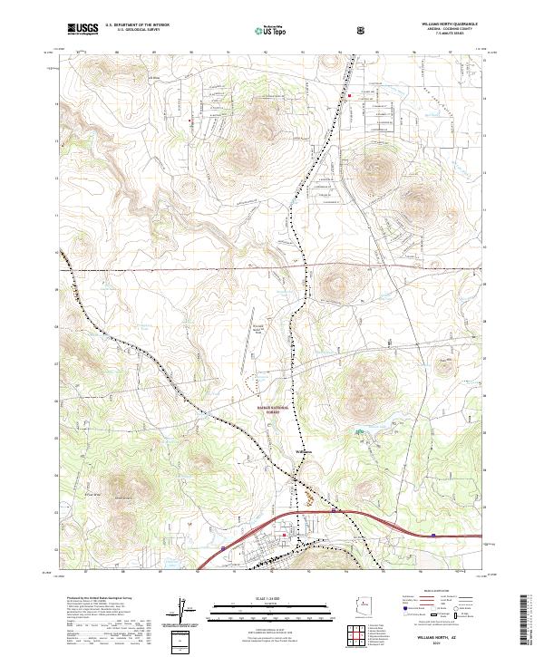
2021 Map of Williams North
USGS Topo · Published 2021About this map
Williams serves as the focal point for this high-altitude landscape, situated where the high desert meets the wooded fringes of the Kaibab National Forest. The geography is defined by a series of volcanic features and drainage basins, notably the deep incision of Cataract Canyon and the prominent Three Sisters peaks to the west. Water management is a central theme of the local infrastructure, with numerous livestock and irrigation sources such as Threemile Lake, Pine Tank, and Sweetwater Tank scattered across the plateau. To the north, the terrain transitions into the Red Lake Valley, while the aviation history of the area is represented by H A Clark Memorial Field. The map reveals a transition from the established town center to a network of rural residential roads including W Mustang Blvd and E Hoctor Rd, showing the expansion of modern settlements into the historic forest and grazing lands.
Find a feature on this map
117 named features on this map. Tap any name to fly to it.
Don’t see what you’re looking for? This feature index may not catch every label — zoom into the map to look around manually.
Map Details
Editions of this 2021 Williams North Map
This is the sole edition of this map. No revisions or reprints were ever made.
Other maps of this area

1886 · Chino
USGS Topo · 1:250,000

1891 · Chino
USGS Topo · 1:250,000

1922 · Williams
USGS Topo · 1:125,000

1947 · Ash Fork
USGS Topo · 1:62,500

1948 · Ash Fork
USGS Topo · 1:63,360

1948 · Williams
USGS Topo · 1:250,000

1949 · Ash Fork
USGS Topo · 1:62,500

1954 · Williams
USGS Topo · 1:250,000

1956 · Williams
USGS Topo · 1:250,000

1960 · Williams
USGS Topo · 1:250,000