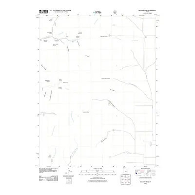
2011 Map of Williams Peak
USGS Topo · Published 2011About this map
Williams Peak towers over a complex network of canyons and drainages in this high-altitude section of Millard County. The terrain is marked by deep cuts such as John Williams Canyon, Hardscrabble Canyon, and Radford Canyon, which channel seasonal water toward the lower flats. Human presence is largely defined by recreational and agricultural footprints, with the Platnation Flat Campground and Little Creek Campground providing access for visitors, while the remote Hatch Cabin sits near the eastern boundary along Little Oak Creek RD.
Find a feature on this map
40 named features on this map. Tap any name to fly to it.
Don’t see what you’re looking for? This feature index may not catch every label — zoom into the map to look around manually.
Map Details
Editions of this 2011 Williams Peak Map
This is the sole edition of this map. No revisions or reprints were ever made.
Other maps of this area

1885 · Sevier Desert
USGS Topo · 1:250,000

1951 · Oak City
USGS Topo · 1:62,500

1952 · Scipio North
USGS Topo · 1:62,500

1953 · Delta
USGS Topo · 1:250,000

1958 · Delta
USGS Topo · 1:250,000

1962 · Delta
USGS Topo · 1:250,000

1962 · Holden
USGS Topo · 1:62,500
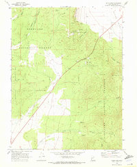
1969 · Scipio Pass
USGS Topo · 1:24,000
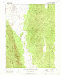
1969 · Scipio South
USGS Topo · 1:24,000
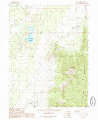
1985 · Oak City North
USGS Topo · 1:24,000