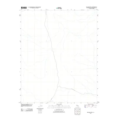
2012 Map of Williams Well
USGS Topo · Published 2012About this map
Williams Well is a focal point in this high-desert landscape of San Bernardino County, situated at the southern edge of a vast, unpopulated terrain defined by seasonal drainage patterns. This 2012 survey illustrates a region where life and travel are dictated by the sparse water sources and a handful of desert routes. Two primary thoroughfares, Paradise Springs Rd and Dobson Rd, intersect near the namesake well, marking the primary human imprint on an otherwise open territory. The map provides a clear look at the arid drainage systems as they appeared in the early 21st century, offering essential context for those studying the remote infrastructure and watering points of the Mojave region.
Find a feature on this map
3 named features on this map. Tap any name to fly to it.
Don’t see what you’re looking for? This feature index may not catch every label — zoom into the map to look around manually.
Map Details
Editions of this 2012 Williams Well Map
This is the sole edition of this map. No revisions or reprints were ever made.
Other maps of this area

1915 · Searles Lake
USGS Topo · 1:250,000

1933 · Avawatz Mountains
USGS Topo · 1:250,000

1947 · Trona
USGS Topo · 1:250,000

1948 · Trona
USGS Topo · 1:250,000

1948 · Lane Mountain
USGS Topo · 1:62,500

1948 · Goldstone Lake
USGS Topo · 1:62,500

1951 · Goldstone Lake
USGS Topo · 1:62,500

1951 · Lane Mountain
USGS Topo · 1:62,500

1953 · Trona
USGS Topo · 1:250,000

1954 · Pilot Knob
USGS Topo · 1:62,500