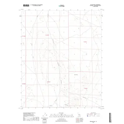
2018 Map of Williams Well
USGS Topo · Published 2018About this map
Williams Well serves as a central point of interest in this arid portion of the Mojave Desert, where the landscape is defined more by its rugged topography and utilitarian access routes than by permanent settlements. The map details a network of desert roads that suggest a history of prospecting and transit through the San Bernardino hinterlands. Key arteries such as Paradise Springs Rd and Auburn Rd traverse the terrain, while the presence of Starbright Mine Rd points to the area's mineral exploration roots. This 2018 survey captures the intersection of multiple township and range systems, including t31s r47e and t13n r1e, reflecting the complex surveying history of this desert expanse. The reliance on isolated wells and specific named roads like Dobson Rd underscores the sparse, resource-driven human footprint in this part of California.
Find a feature on this map
13 named features on this map. Tap any name to fly to it.
Don’t see what you’re looking for? This feature index may not catch every label — zoom into the map to look around manually.
Map Details
Editions of this 2018 Williams Well Map
This is the sole edition of this map. No revisions or reprints were ever made.
Other maps of this area

1915 · Searles Lake
USGS Topo · 1:250,000

1933 · Avawatz Mountains
USGS Topo · 1:250,000

1947 · Trona
USGS Topo · 1:250,000

1948 · Trona
USGS Topo · 1:250,000

1948 · Lane Mountain
USGS Topo · 1:62,500

1948 · Goldstone Lake
USGS Topo · 1:62,500

1951 · Goldstone Lake
USGS Topo · 1:62,500

1951 · Lane Mountain
USGS Topo · 1:62,500

1953 · Trona
USGS Topo · 1:250,000

1954 · Pilot Knob
USGS Topo · 1:62,500