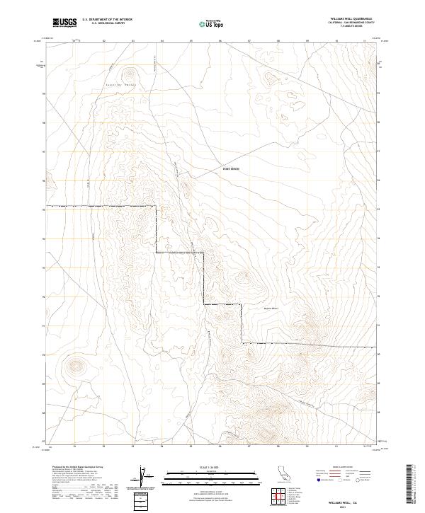
2021 Map of Williams Well
USGS Topo · Published 2021About this map
Superior Valley and the vast northern reaches of the Mojave Desert define this high-desert landscape in San Bernardino County. This 2021 survey documents a network of remote desert roads that provide the only physical access to these wide basins and isolated hills. The terrain is structured by a series of graded routes, most notably Paradise Springs Rd, which snakes south through the center of the sheet, and Auburn Rd near the western edge.
Find a feature on this map
13 named features on this map. Tap any name to fly to it.
Don’t see what you’re looking for? This feature index may not catch every label — zoom into the map to look around manually.
Map Details
Editions of this 2021 Williams Well Map
This is the sole edition of this map. No revisions or reprints were ever made.
Other maps of this area

1915 · Searles Lake
USGS Topo · 1:250,000

1933 · Avawatz Mountains
USGS Topo · 1:250,000

1947 · Trona
USGS Topo · 1:250,000

1948 · Trona
USGS Topo · 1:250,000

1948 · Lane Mountain
USGS Topo · 1:62,500

1948 · Goldstone Lake
USGS Topo · 1:62,500

1951 · Goldstone Lake
USGS Topo · 1:62,500

1951 · Lane Mountain
USGS Topo · 1:62,500

1953 · Trona
USGS Topo · 1:250,000

1954 · Pilot Knob
USGS Topo · 1:62,500