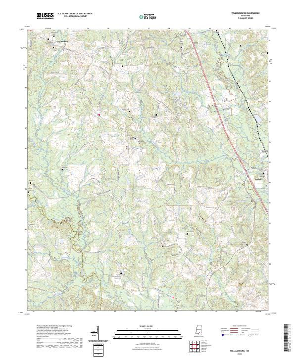
2024 Map of Williamsburg
USGS Topo · Published 2024About this map
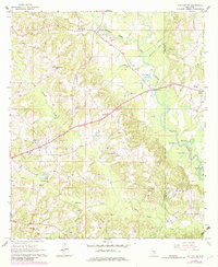
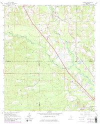
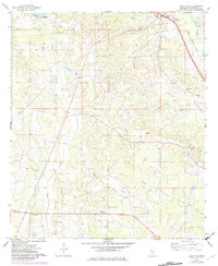
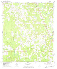
Williamsburg and the surrounding piney woods of Covington County are characterized by a dense network of family cemeteries and rural congregations. The landscape is defined by the Bowie River and its numerous tributaries, including Terrible Creek and Big Swamp Creek, which dictate the placement of early settlements and road networks like the Seminary-Williamsburg Rd. Local genealogy is deeply rooted here, evidenced by numerous small burial grounds such as the Coulter Family Cem, Atwood Family Cem, and the Old Williamsburg Cem. The southern portion of the quadrangle shows the transition into the Seminary area, where the Seminary at River Cem sits near the banks of the river. This survey captures a rural Mississippi landscape where traditional land divisions of the Public Land Survey System remain the primary framework for contemporary roads and property lines.
Find a feature on this map
114 named features on this map. Tap any name to fly to it.
Don’t see what you’re looking for? This feature index may not catch every label — zoom into the map to look around manually.
Map Details
Editions of this 2024 Williamsburg Map
This is the sole edition of this map. No revisions or reprints were ever made.
Historical Maps of Mount Horeb Through Time
8 maps found