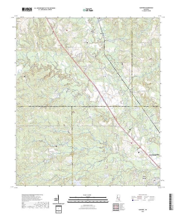
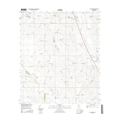
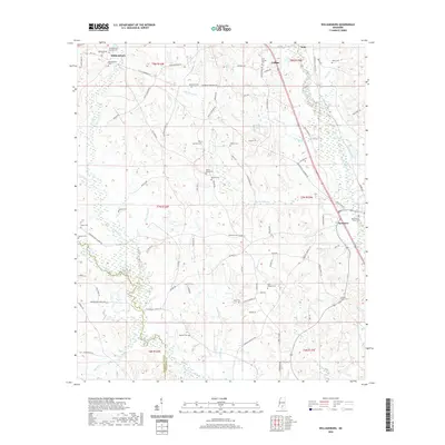
2024 Map of Sanford
USGS Topo · Published 2024About this map
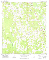
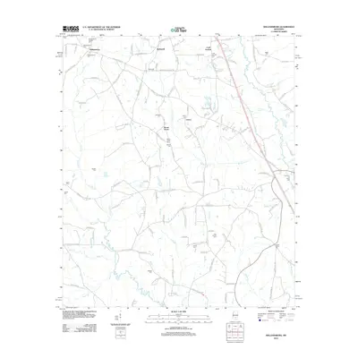
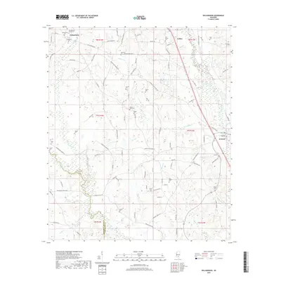
Okatoma Creek and the Bouie River converge in this Mississippi landscape, which sits at the jurisdictional intersection of Covington, Jones, Lamar, and Forrest Counties. The settlement of Sanford serves as a northern anchor, while the northern fringes of Hattiesburg emerge in the southeast corner near Rawls Springs. The terrain is defined by a dense network of local drainages like Shelton Creek and McCall Creek, which likely dictated the placement of the numerous family-named cemeteries and rural roads that crisscross the region.
Find a feature on this map
90 named features on this map. Tap any name to fly to it.
Don’t see what you’re looking for? This feature index may not catch every label — zoom into the map to look around manually.
Map Details
Editions of this 2024 Sanford Map
This is the sole edition of this map. No revisions or reprints were ever made.
Historical Maps of Hattiesburg Through Time
24 maps found
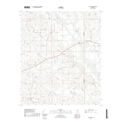
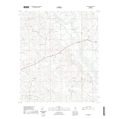
1965 Hot Coffee
Covington County, MS
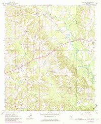
1965 Sanford
Covington County, MS
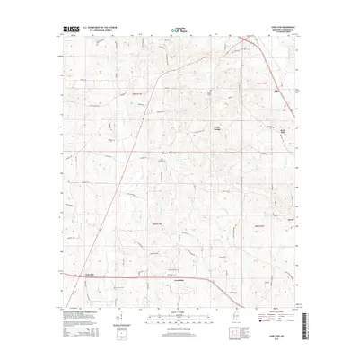
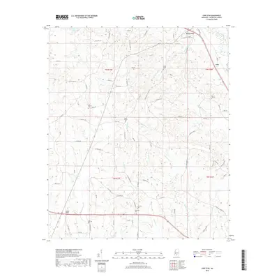
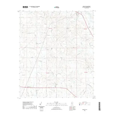
1974 Lone Star
Covington County, MS
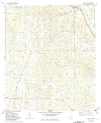
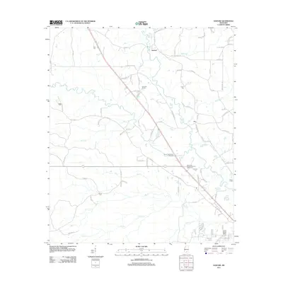
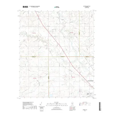
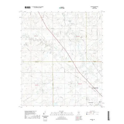
1974 Williamsburg
Covington County, MS
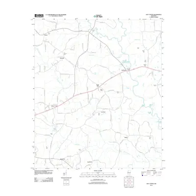
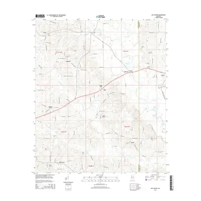
2012 Hot Coffee
Covington County, MS
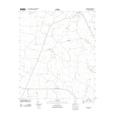
2012 Lone Star
Covington County, MS
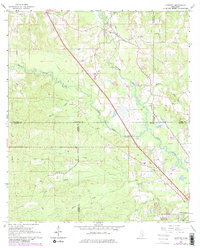
2012 Sanford
Covington County, MS
2012 Williamsburg
Covington County, MS
2015 Hot Coffee
Covington County, MS
2015 Lone Star
Covington County, MS
2015 Sanford
Covington County, MS
2015 Williamsburg
Covington County, MS
2018 Hot Coffee
Covington County, MS
2018 Lone Star
Covington County, MS
2018 Sanford
Covington County, MS
2018 Williamsburg
Covington County, MS
2020 Hot Coffee
Covington County, MS
2020 Lone Star
Covington County, MS
2020 Sanford
Covington County, MS
2020 Williamsburg
Covington County, MS
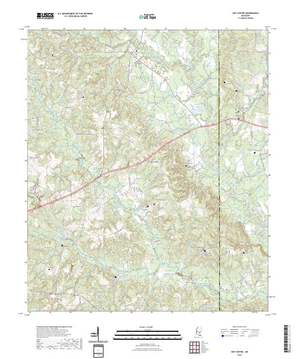
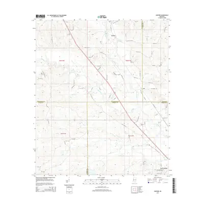
2024 Hot Coffee
Covington County, MS
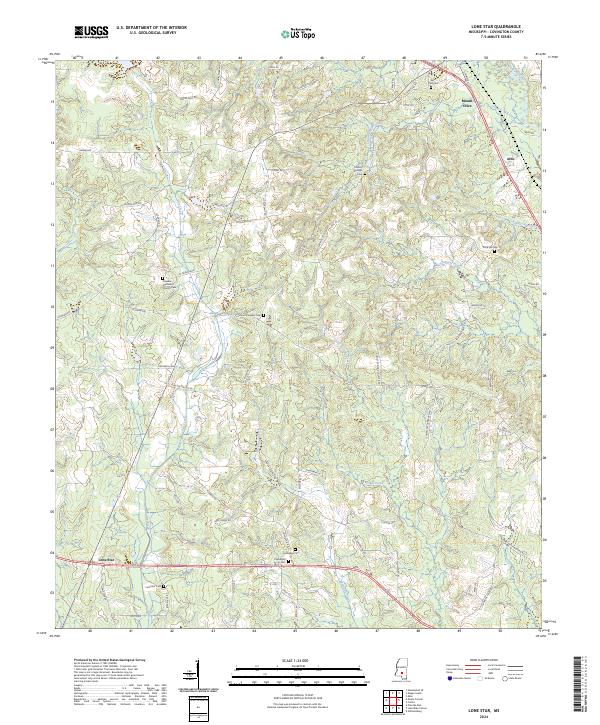
2024 Lone Star
Covington County, MS
2024 Sanford
Covington County, MS
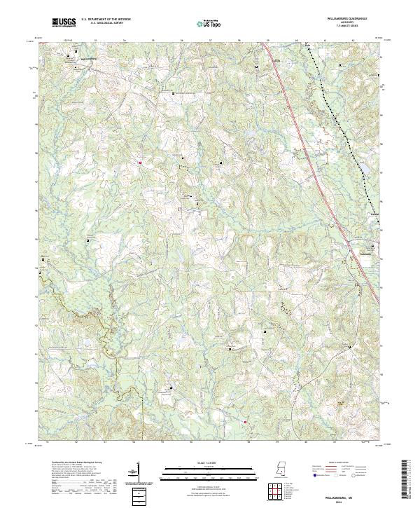
2024 Williamsburg
Covington County, MS