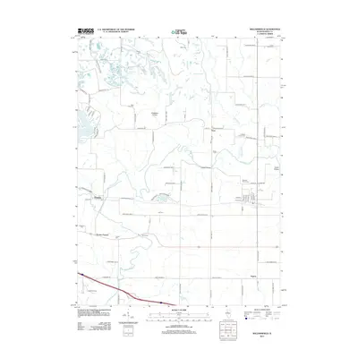
2012 Map of Williamsfield
USGS Topo · Published 2012About this map
Spoon River meanders through this landscape, defining the rural character of Knox County during the early twenty-first century. The area is marked by a dense concentration of lineage-based burial sites such as Caldwell Family Cem and Williams Family Cem, suggesting deep generational ties to the land near the small settlements of Truro and Dahinda. To the northwest, the terrain transitions into a series of water bodies including Spoon Lake, Corn Crib Lake, and Greens Oaks Lake, which highlight the region's managed water resources and residential developments like those along Tanglewood Cir. The infrastructure is anchored by a grid of county roads, including Knox Hwy 15 and Knox Highway 11, while landmarks like Lapham Bridge and the Po at Dahinda serve as local transit and service hubs. This topography reveals a shift from traditional agricultural plots to modern recreational lakefronts and preserved family histories.
Find a feature on this map
92 named features on this map. Tap any name to fly to it.
Don’t see what you’re looking for? This feature index may not catch every label — zoom into the map to look around manually.
Map Details
Editions of this 2012 Williamsfield Map
This is the sole edition of this map. No revisions or reprints were ever made.
Other maps of this area

1931 · Galva
USGS Topo · 1:48,000

1940 · Galva
USGS Topo · 1:62,500

1941 · Maquon
USGS Topo · 1:62,500

1943 · Maquon
USGS Topo · 1:62,500

1944 · Galva
USGS Topo · 1:62,500

1944 · Kewanee
USGS Topo · 1:62,500

1944 · Elmwood
USGS Topo · 1:62,500

1948 · Elmwood
USGS Topo · 1:62,500

1958 · Burlington
USGS Topo · 1:250,000

1958 · Davenport
USGS Topo · 1:250,000