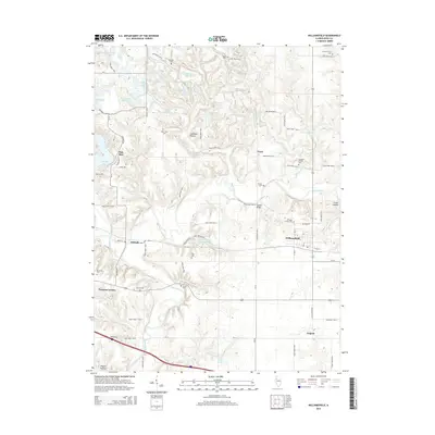
2015 Map of Williamsfield
USGS Topo · Published 2015About this map
Williamsfield serves as the central hub for this portion of eastern Knox County, where the landscape transitions from established agricultural plains to the dissected drainage of the Spoon River. The river winds through the southern half of the quadrangle, crossed by the Lapham Bridge and joined by tributaries like Caldwell Cr and Brandywine Cr. To the northwest, the development of Oak Run surrounds Spoon Lake, contrasting with the more traditional rural settlements of Truro and Trenton Corners.
Find a feature on this map
78 named features on this map. Tap any name to fly to it.
Don’t see what you’re looking for? This feature index may not catch every label — zoom into the map to look around manually.
Map Details
Editions of this 2015 Williamsfield Map
This is the sole edition of this map. No revisions or reprints were ever made.
Other maps of this area

1931 · Galva
USGS Topo · 1:48,000

1940 · Galva
USGS Topo · 1:62,500

1941 · Maquon
USGS Topo · 1:62,500

1943 · Maquon
USGS Topo · 1:62,500

1944 · Galva
USGS Topo · 1:62,500

1944 · Kewanee
USGS Topo · 1:62,500

1944 · Elmwood
USGS Topo · 1:62,500

1948 · Elmwood
USGS Topo · 1:62,500

1958 · Burlington
USGS Topo · 1:250,000

1958 · Davenport
USGS Topo · 1:250,000