2024 Map of Williamsfield
USGS Topo · Published 2024About this map
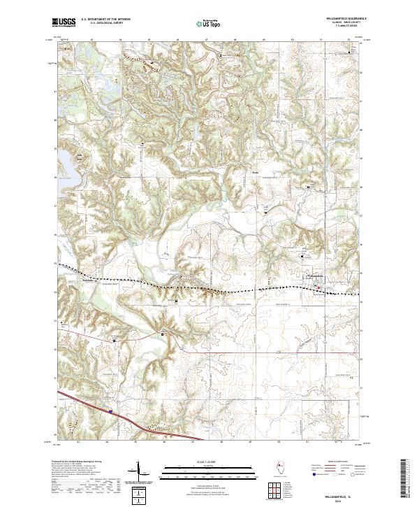
The Spoon River meanders through this portion of Knox County, defining a landscape shaped by tributary creeks and a network of small upland lakes. Along its banks, the village of Williamsfield serves as a primary hub of settlement, complemented by the community of Dahinda to the west. This area is notably dense with small family and community burial grounds, such as the Williams Family Cem and Caldwell Family Cem, which offer significant value for genealogists tracing early residents of Truro and the surrounding townships.
Find a feature on this map
87 named features on this map. Tap any name to fly to it.
Don’t see what you’re looking for? This feature index may not catch every label — zoom into the map to look around manually.
Map Details
Editions of this 2024 Williamsfield Map
This is the sole edition of this map. No revisions or reprints were ever made.