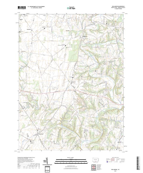
2023 Map of Williamson
USGS Topo · Published 2023About this map
Conococheague Creek and its major tributaries, including the West Branch Conococheague Creek, dominate the rural landscape of Franklin County. This region is characterized by a high density of family burial grounds and denominational cemeteries, reflecting a deep-rooted agricultural and religious heritage. Small rural hubs like Williamson, Lemasters, and Upton are connected by a network of local roads such as Warm Spring Rd and Buchanan Trl W.
Find a feature on this map
122 named features on this map. Tap any name to fly to it.
Don’t see what you’re looking for? This feature index may not catch every label — zoom into the map to look around manually.
Map Details
Editions of this 2023 Williamson Map
This is the sole edition of this map. No revisions or reprints were ever made.
Other maps of this area

1900 · Mercersburg
USGS Topo · 1:62,500

1902 · Chambersburg
USGS Topo · 1:62,500

1902 · Mercersburg
USGS Topo · 1:62,500

1909 · Hagerstown
USGS Topo · 1:48,000

1912 · Hagerstown
USGS Topo · 1:62,500

1912 · Williamsport
USGS Topo · 1:62,500

1942 · Hagerstown
USGS Topo · 1:125,000

1943 · Hagerstown
USGS Topo · 1:125,000

1943 · Mercersburg
USGS Topo · 1:24,000

1943 · Chambersburg
USGS Topo · 1:62,500
Featured Places
- Antrim Township, PA
- Hamilton Township, PA
- Peters Township, PA
- St. Thomas Township, PA
- Johnston, Antrim Township