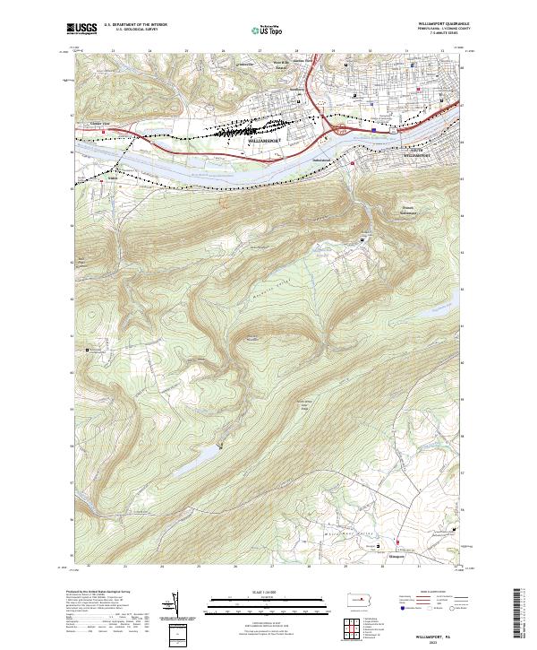
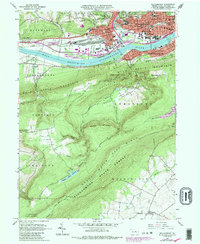
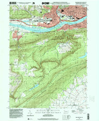
2023 Map of Williamsport
USGS Topo · Published 2023About this map
The West Branch Susquehanna River serves as the central artery for this region, separating the industrial and urban corridor of Williamsport from the southern heights of Bald Eagle Mountain. The city landscape is densely packed with historical infrastructure, including the Lycoming County Courthouse and the expansive campus of the Pennsylvania College of Technology. In the northern neighborhoods, established areas like Newberry and Garden View transition into the ridges of the Allegheny Plateau.
Find a feature on this map
126 named features on this map. Tap any name to fly to it.
Don’t see what you’re looking for? This feature index may not catch every label — zoom into the map to look around manually.
Map Details
Editions of this 2023 Williamsport Map
This is the sole edition of this map. No revisions or reprints were ever made.
Historical Maps of Nisbet Through Time
12 maps found

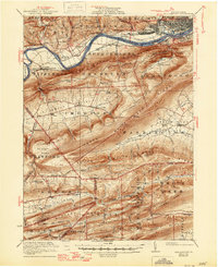
1921 Williamsport
Lycoming County, PA
1923 Williamsport
Lycoming County, PA

1944 Williamsport
Lycoming County, PA
1953 Williamsport
Lycoming County, PA

1954 Williamsport
Lycoming County, PA

1960 Williamsport
Lycoming County, PA
1962 Williamsport
Lycoming County, PA

1965 Williamsport
Lycoming County, PA
1965 Williamsport
Lycoming County, PA

1966 Williamsport
Lycoming County, PA
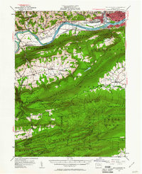
1994 Williamsport
Lycoming County, PA
2023 Williamsport
Lycoming County, PA
Featured Locations
- Bastress Township, PA
- Williamsport, PA
- Duboistown, PA
- Woodward Township, PA
- Garden View, Old Lycoming Township