
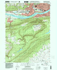
1966 Map of Williamsport
USGS Topo · Published 1966About this map
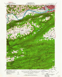
The West Branch Susquehanna River carves through the central Pennsylvania heartland, anchoring a landscape where industrial river towns meet expansive public timberlands. During this mid-1970s revision, the region demonstrates a transition from a traditional rail-and-river economy to a modern highway-connected corridor, though the influence of the Penn Central and Erie Lackawanna railroads remains visible. The map highlights the concentration of higher education institutions along the valley, including Lycoming College in Williamsport and Lock Haven State College.
Find a feature on this map
182 named features on this map. Tap any name to fly to it.
Don’t see what you’re looking for? This feature index may not catch every label — zoom into the map to look around manually.
Map Details
Editions of this 1966 Williamsport Map
This is the sole edition of this map. No revisions or reprints were ever made.
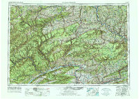
Historical Maps of Vestal Through Time
12 maps found

1921 Williamsport
Lycoming County, PA
1923 Williamsport
Lycoming County, PA

1944 Williamsport
Lycoming County, PA
1953 Williamsport
Lycoming County, PA

1954 Williamsport
Lycoming County, PA

1960 Williamsport
Lycoming County, PA
1962 Williamsport
Lycoming County, PA

1965 Williamsport
Lycoming County, PA
1965 Williamsport
Lycoming County, PA
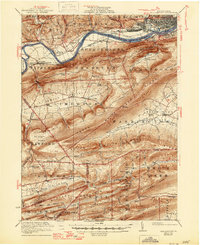
1966 Williamsport
Lycoming County, PA
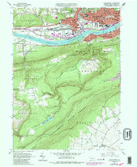
1994 Williamsport
Lycoming County, PA
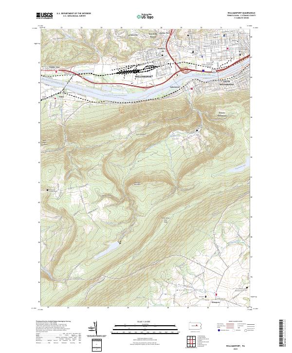
2023 Williamsport
Lycoming County, PA