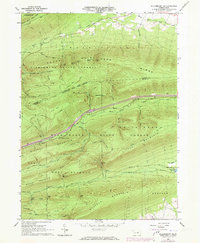
1965 Map of Williamsport SE
USGS Topo · Published 1973About this map
Tiadaghton State Forest and Bald Eagle State Forest dominate this landscape in central Pennsylvania, where the ridgelines of the Ridge and Valley province run in parallel southwest-to-northeast bands. The terrain is defined by dramatic elevations including Bald Eagle Mountain, Nittany Mountain, and North White Deer Ridge. Waterways such as White Deer Hole Creek and Spruce Run cut through these ridges, creating natural gaps that dictate the path of human infrastructure.
Find a feature on this map
48 named features on this map. Tap any name to fly to it.
Don’t see what you’re looking for? This feature index may not catch every label — zoom into the map to look around manually.
Map Details
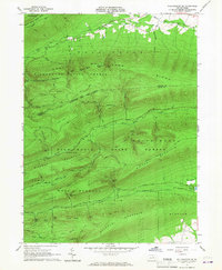
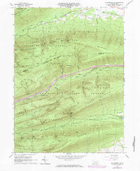
Editions of this 1965 Williamsport SE Map
3 editions found
Other maps of this area

1893 · Sunbury
USGS Topo · 1:62,500

1921 · Williamsport
USGS Topo · 1:48,000

1923 · Williamsport
USGS Topo · 1:62,500

1924 · Milton
USGS Topo · 1:62,500

1938 · Mifflinburg
USGS Topo · 1:48,000

1943 · Sunbury
USGS Topo · 1:62,500

1943 · Mifflinburg
USGS Topo · 1:62,500

1944 · Williamsport
USGS Topo · 1:62,500

1950 · Harrisburg
USGS Topo · 1:250,000
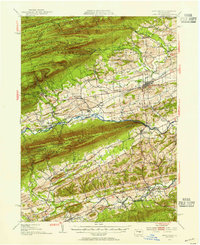
1953 · Mifflinburg
USGS Topo · 1:62,500
Featured Places
- White Deer Township, PA
- Buffalo Township, PA
- Lewis Township, PA
- Limestone Township, PA
- West Buffalo Township, PA