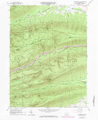
1965 Map of Williamsport SE
USGS Topo · Published 1984About this map
Bald Eagle State Forest and Tiadaghton State Forest dominate this mid-1960s terrain, revealing a landscape defined by parallel ridges and the gaps that allowed early passage through the Central Pennsylvania mountains. The mapping shows the intricate network of fire roads and trails, such as Cove Road and the Vandyke Trail, which served the timber and conservation efforts of the era. The presence of Spruce Run Reservoir in the southeast and the Gaging Sta along White Deer Creek highlights the region's importance for water management and resource monitoring. Peaks like Shoemaker Knob and Potato Hill stand as prominent landmarks amidst a series of gaps, including First Gap and Second Gap, illustrating the geological folds of the Appalachian Ridge-and-Valley province. This survey documents the intersection of Lycoming and Union counties before modern development altered these forest access routes.
Find a feature on this map
60 named features on this map. Tap any name to fly to it.
Don’t see what you’re looking for? This feature index may not catch every label — zoom into the map to look around manually.
Map Details
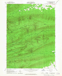
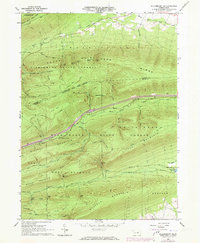
Editions of this 1965 Williamsport SE Map
3 editions found
Other maps of this area

1893 · Sunbury
USGS Topo · 1:62,500

1921 · Williamsport
USGS Topo · 1:48,000

1923 · Williamsport
USGS Topo · 1:62,500

1924 · Milton
USGS Topo · 1:62,500

1938 · Mifflinburg
USGS Topo · 1:48,000

1943 · Sunbury
USGS Topo · 1:62,500

1943 · Mifflinburg
USGS Topo · 1:62,500

1944 · Williamsport
USGS Topo · 1:62,500

1950 · Harrisburg
USGS Topo · 1:250,000
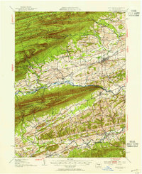
1953 · Mifflinburg
USGS Topo · 1:62,500
Featured Places
- White Deer Township, PA
- Buffalo Township, PA
- Lewis Township, PA
- Limestone Township, PA
- West Buffalo Township, PA