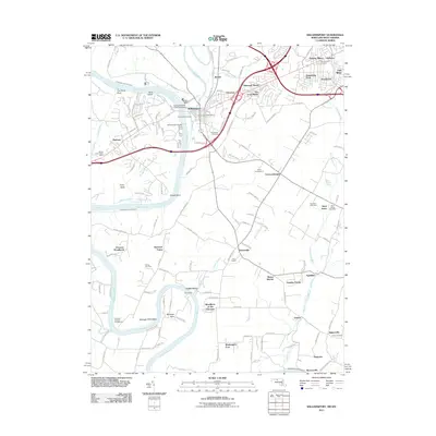
2011 Map of Williamsport
USGS Topo · Published 2011About this map
The Potomac River carves a winding path along the Maryland and West Virginia border, defining the landscape of this Washington County region. The Chesapeake and Ohio Canal runs parallel to the river's north bank, passing through the town of Williamsport, where the historic Conococheague Creek Aqueduct stands as a significant engineering landmark. This area serves as a transit and industrial hub, evidenced by the Williamsport Power Plant and a dense network of roads connecting settlements like Halfway and Cloverton.
Find a feature on this map
139 named features on this map. Tap any name to fly to it.
Don’t see what you’re looking for? This feature index may not catch every label — zoom into the map to look around manually.
Map Details
Editions of this 2011 Williamsport Map
This is the sole edition of this map. No revisions or reprints were ever made.
Other maps of this area

1884 · Harpers Ferry
USGS Topo · 1:125,000

1891 · Harpers Ferry
USGS Topo · 1:125,000

1893 · Harpers Ferry
USGS Topo · 1:125,000

1908 · Middletown
USGS Topo · 1:48,000

1909 · Hagerstown
USGS Topo · 1:48,000

1910 · Antietam
USGS Topo · 1:62,500

1912 · Hagerstown
USGS Topo · 1:62,500

1912 · Williamsport
USGS Topo · 1:62,500

1914 · Martinsburg
USGS Topo · 1:48,000

1916 · Martinsburg
USGS Topo · 1:62,500