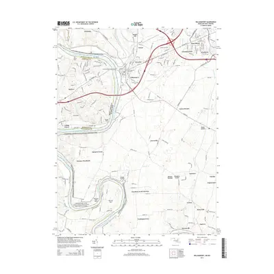
2014 Map of Williamsport
USGS Topo · Published 2014About this map
The Potomac River carves a winding path along the border of Maryland and West Virginia, forming the dramatic oxbow known as The Horse Shoe and the narrow projection of Whitings Neck. This landscape is defined by the legacy of early American transport, anchored by the Chesapeake and Ohio Canal National Historical Park. Key engineering feats of the canal era remain visible, notably the Conococheague Creek Aqueduct and the large basins like Dellinger Wide Water.
Find a feature on this map
169 named features on this map. Tap any name to fly to it.
Don’t see what you’re looking for? This feature index may not catch every label — zoom into the map to look around manually.
Map Details
Editions of this 2014 Williamsport Map
This is the sole edition of this map. No revisions or reprints were ever made.
Other maps of this area

1884 · Harpers Ferry
USGS Topo · 1:125,000

1891 · Harpers Ferry
USGS Topo · 1:125,000

1893 · Harpers Ferry
USGS Topo · 1:125,000

1908 · Middletown
USGS Topo · 1:48,000

1909 · Hagerstown
USGS Topo · 1:48,000

1910 · Antietam
USGS Topo · 1:62,500

1912 · Hagerstown
USGS Topo · 1:62,500

1912 · Williamsport
USGS Topo · 1:62,500

1914 · Martinsburg
USGS Topo · 1:48,000

1916 · Martinsburg
USGS Topo · 1:62,500