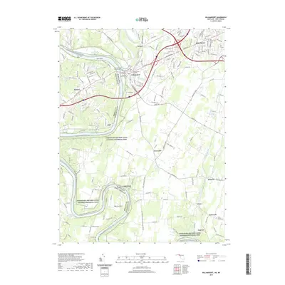
2019 Map of Williamsport
USGS Topo · Published 2019About this map
Williamsport and the Halfway suburbs form the northern anchor of this landscape, situated at the confluence of Conococheague Creek and the Potomac River. This 2019 survey documents the extensive riverfront preservation within the Chesapeake and Ohio Canal National Historical Park, where the historic Chesapeake and Ohio Canal Aqueduct remains a prominent landmark. The terrain is marked by dramatic river bends such as The Horse Shoe and Powell Bend, contrasting with the increasingly developed residential areas of the northern panhandle.
Find a feature on this map
170 named features on this map. Tap any name to fly to it.
Don’t see what you’re looking for? This feature index may not catch every label — zoom into the map to look around manually.
Map Details
Editions of this 2019 Williamsport Map
This is the sole edition of this map. No revisions or reprints were ever made.
Other maps of this area

1884 · Harpers Ferry
USGS Topo · 1:125,000

1891 · Harpers Ferry
USGS Topo · 1:125,000

1893 · Harpers Ferry
USGS Topo · 1:125,000

1908 · Middletown
USGS Topo · 1:48,000

1909 · Hagerstown
USGS Topo · 1:48,000

1910 · Antietam
USGS Topo · 1:62,500

1912 · Hagerstown
USGS Topo · 1:62,500

1912 · Williamsport
USGS Topo · 1:62,500

1914 · Martinsburg
USGS Topo · 1:48,000

1916 · Martinsburg
USGS Topo · 1:62,500