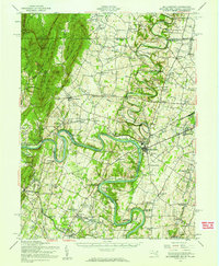
1944 Map of Williamsport
USGS Topo · Published 1959About this map
The Potomac River winds through this mid-century survey, defining the border between Maryland and West Virginia and shaping the industrial geography of the region. The Chesapeake and Ohio Canal parallels the river's path, passing notable landmarks like McCoys Ferry and the Green Spring Furnace. In the town of Williamsport, the convergence of the Western Maryland and Pennsylvania railroads highlights the area's importance as a transportation hub, supported by the Cumbo Yard and Jamison Yard.
Find a feature on this map
132 named features on this map. Tap any name to fly to it.
Don’t see what you’re looking for? This feature index may not catch every label — zoom into the map to look around manually.
Map Details
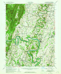
Editions of this 1944 Williamsport Map
2 editions found
Other maps of this area

1884 · Harpers Ferry
USGS Topo · 1:125,000

1891 · Harpers Ferry
USGS Topo · 1:125,000

1893 · Harpers Ferry
USGS Topo · 1:125,000

1894 · Winchester
USGS Topo · 1:125,000

1899 · Hancock
USGS Topo · 1:62,500

1900 · Mercersburg
USGS Topo · 1:62,500

1901 · Hancock
USGS Topo · 1:62,500

1902 · Chambersburg
USGS Topo · 1:62,500

1902 · Mercersburg
USGS Topo · 1:62,500

1908 · Middletown
USGS Topo · 1:48,000