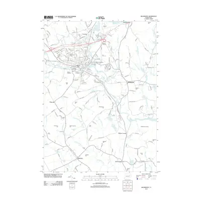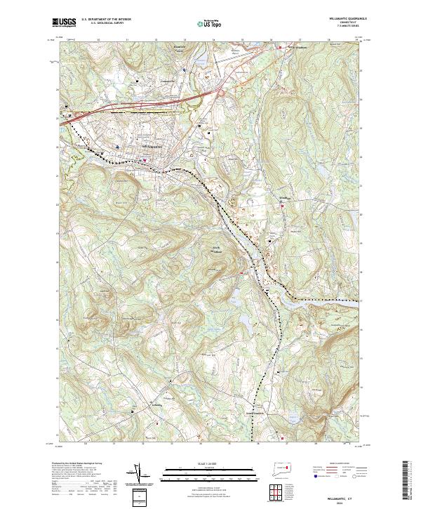
2024 Map of Willimantic
USGS Topo · Published 2024About this map
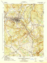
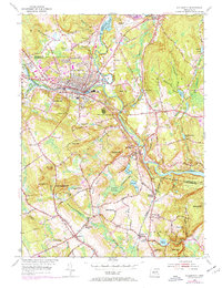
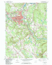
Willimantic serves as the dense urban hub of this Windham County landscape, where the confluence of the Willimantic River and Natchaug River forms the Shetucket River at a point uniquely labeled the Crotch of the River. The industrial and civic heritage of the city is evident through landmarks like the Windham County Courthouse and the campus of Eastern Connecticut State University. Beyond the city center, the terrain rises into several named heights, including Hosmer Mtn and Bush Hill, while the valley floors are marked by numerous water bodies such as Lymans Pond and Pigeon Swamp.
Find a feature on this map
83 named features on this map. Tap any name to fly to it.
Don’t see what you’re looking for? This feature index may not catch every label — zoom into the map to look around manually.
Map Details
Editions of this 2024 Willimantic Map
This is the sole edition of this map. No revisions or reprints were ever made.
Historical Maps of Mansfield Through Time
8 maps found