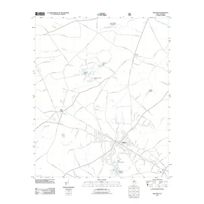
2011 Map of Williston
USGS Topo · Published 2011About this map
Williston serves as the central hub of this Barnwell County landscape, where a grid of streets like State St and E Main St meets the rural agricultural surrounding. To the southeast, the small community of Elko sits near Spur Branch, while White Pond lies to the west, marking a transition toward more hydraulic features. The area is defined by its water management history, seen in numerous named reservoirs such as Webb Millpond, Johnsons Lake, and Whitehead Pond, many of which are held by specific infrastructure like Webbs Pond Dam D-2038.
Find a feature on this map
121 named features on this map. Tap any name to fly to it.
Don’t see what you’re looking for? This feature index may not catch every label — zoom into the map to look around manually.
Map Details
Editions of this 2011 Williston Map
This is the sole edition of this map. No revisions or reprints were ever made.
Other maps of this area

1920 · Aiken
USGS Topo · 1:48,000

1920 · Talatha
USGS Topo · 1:48,000

1921 · Aiken
USGS Topo · 1:62,500

1921 · Talatha
USGS Topo · 1:62,500

1923 · Williston
USGS Topo · 1:48,000

1927 · Williston
USGS Topo · 1:62,500

1943 · Aiken
USGS Topo · 1:62,500

1943 · Augusta East
USGS Topo · 1:125,000

1943 · Williston
USGS Topo · 1:62,500

1943 · Talatha
USGS Topo · 1:62,500