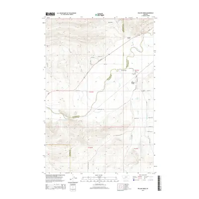
2014 Map of Willow Creek
USGS Topo · Published 2014About this map
Willow Creek serves as the focal point of this Gallatin County survey, situated near the confluence of several prominent waterways including the Jefferson River and Willow Creek. The settlement's grid is anchored by Main Street and Broadway Street, reflecting its role as a local agricultural hub. Rural life in the early 21st century is documented through several burial sites like Willow Creek Cemetery, Mt Green Cemetery, and Stateler Cemetery, providing valuable data for genealogical research.
Find a feature on this map
44 named features on this map. Tap any name to fly to it.
Don’t see what you’re looking for? This feature index may not catch every label — zoom into the map to look around manually.
Map Details
Editions of this 2014 Willow Creek Map
This is the sole edition of this map. No revisions or reprints were ever made.
Other maps of this area

1888 · Three Forks
USGS Topo · 1:250,000

1894 · Three Forks
USGS Topo · 1:250,000

1895 · Three Forks
USGS Topo · 1:250,000

1947 · Bozeman
USGS Topo · 1:250,000

1948 · Bozeman
USGS Topo · 1:250,000

1949 · Norris
USGS Topo · 1:62,500

1950 · Three Forks
USGS Topo · 1:62,500

1950 · Jefferson Island
USGS Topo · 1:62,500

1950 · Harrison
USGS Topo · 1:62,500

1951 · Norris
USGS Topo · 1:62,500