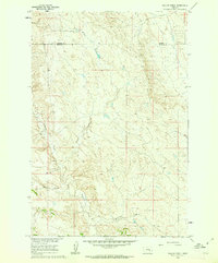
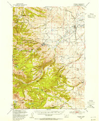
1960 Map of Willow Creek
USGS Topo · Published 1962About this map
The Rosebud Co Treasure Co boundary bisects this landscape of deeply carved drainages, captured as part of a mid-century development program for the Missouri River Basin. The terrain is defined by the winding course of Willow Creek, which is joined by tributaries like Muggins Creek and Mc Konkey Creek. These seasonal watercourses have sculpted the area into a complex network of ridges and draws, including the distinctive Bone Coulee.
Find a feature on this map
6 named features on this map. Tap any name to fly to it.
Don’t see what you’re looking for? This feature index may not catch every label — zoom into the map to look around manually.
Map Details
Editions of this 1960 Willow Creek Map
This is the sole edition of this map. No revisions or reprints were ever made.
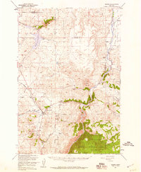
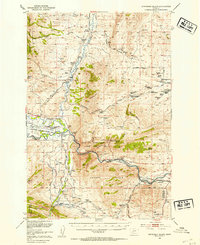
Other maps of this area

1888 · Three Forks
USGS Topo · 1:250,000

1894 · Three Forks
USGS Topo · 1:250,000

1895 · Three Forks
USGS Topo · 1:250,000

1947 · Bozeman
USGS Topo · 1:250,000

1948 · Bozeman
USGS Topo · 1:250,000
1949 · Norris
USGS Topo · 1:62,500
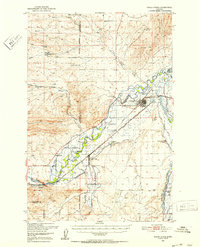
1950 · Three Forks
USGS Topo · 1:62,500
1950 · Jefferson Island
USGS Topo · 1:62,500
1950 · Harrison
USGS Topo · 1:62,500
1951 · Norris
USGS Topo · 1:62,500