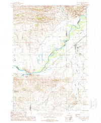
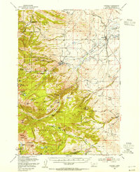
1987 Map of Willow Creek
USGS Topo · Published 1988About this map
The Jefferson River winds through this Montana landscape, marking the confluence of several county boundaries where Gallatin, Jefferson, Broadwater, and Madison counties meet. The settlement of Willow Creek serves as a focal point in the eastern portion of the map, situated near the intersection of the river and the creek that shares its name. The terrain is defined by complex water management and industrial footprints, including a network of irrigation channels like the Lower Jefferson Ditch and the Buttleman Ditch that crisscross the valley floor.
Find a feature on this map
21 named features on this map. Tap any name to fly to it.
Don’t see what you’re looking for? This feature index may not catch every label — zoom into the map to look around manually.
Map Details
Editions of this 1987 Willow Creek Map
This is the sole edition of this map. No revisions or reprints were ever made.
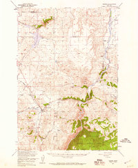
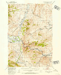
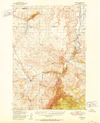
Other maps of this area

1888 · Three Forks
USGS Topo · 1:250,000

1894 · Three Forks
USGS Topo · 1:250,000

1895 · Three Forks
USGS Topo · 1:250,000

1947 · Bozeman
USGS Topo · 1:250,000

1948 · Bozeman
USGS Topo · 1:250,000
1949 · Norris
USGS Topo · 1:62,500
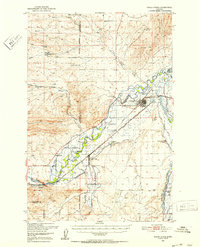
1950 · Three Forks
USGS Topo · 1:62,500
1950 · Jefferson Island
USGS Topo · 1:62,500
1950 · Harrison
USGS Topo · 1:62,500
1951 · Norris
USGS Topo · 1:62,500