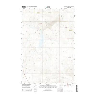
2014 Map of Willow Creek Reservoir
USGS Topo · Published 2014About this map
Willow Cr Reservoir serves as the central focal point of this southwestern Montana landscape, situated at the border of Gallatin and Madison Counties. The surrounding terrain is defined by a dense network of drainage systems, including Norwegian Cr, Dry Hollow Cr, and Spring Cr, which feed into the primary Willow Cr watershed. These watercourses have shaped the local topography, creating distinct hollows and ridges that characterize the area.
Find a feature on this map
16 named features on this map. Tap any name to fly to it.
Don’t see what you’re looking for? This feature index may not catch every label — zoom into the map to look around manually.
Map Details
Editions of this 2014 Willow Creek Reservoir Map
This is the sole edition of this map. No revisions or reprints were ever made.
Other maps of this area

1888 · Three Forks
USGS Topo · 1:250,000

1894 · Three Forks
USGS Topo · 1:250,000

1895 · Three Forks
USGS Topo · 1:250,000

1947 · Bozeman
USGS Topo · 1:250,000

1948 · Bozeman
USGS Topo · 1:250,000

1949 · Norris
USGS Topo · 1:62,500

1950 · Three Forks
USGS Topo · 1:62,500

1950 · Jefferson Island
USGS Topo · 1:62,500

1950 · Harrison
USGS Topo · 1:62,500

1951 · Norris
USGS Topo · 1:62,500