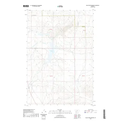
2020 Map of Willow Creek Reservoir
USGS Topo · Published 2020About this map
Willow Creek Reservoir dominates this landscape on the border of Gallatin and Madison Counties, capturing the flow of Willow Cr and Norwegian Cr in a high-elevation basin. The surrounding terrain is marked by a complex system of drainage and irrigation, most notably the Roebert and Warren Ditch, which traverses the slopes west of the reservoir. This network of small streams, including Dry Hollow Cr and Spring Cr, illustrates the critical role of water management in this portion of Montana. Historically significant routes like the Old Yellowstone Trl cut across the northern sections, tracing an era of early transcontinental travel. Modern access is maintained via Harrison Lake Rd, while the township and range lines of the Public Land Survey System define the administrative structure of these ranchlands and watersheds.
Find a feature on this map
14 named features on this map. Tap any name to fly to it.
Don’t see what you’re looking for? This feature index may not catch every label — zoom into the map to look around manually.
Map Details
Editions of this 2020 Willow Creek Reservoir Map
This is the sole edition of this map. No revisions or reprints were ever made.
Other maps of this area

1888 · Three Forks
USGS Topo · 1:250,000

1894 · Three Forks
USGS Topo · 1:250,000

1895 · Three Forks
USGS Topo · 1:250,000

1947 · Bozeman
USGS Topo · 1:250,000

1948 · Bozeman
USGS Topo · 1:250,000

1949 · Norris
USGS Topo · 1:62,500

1950 · Three Forks
USGS Topo · 1:62,500

1950 · Jefferson Island
USGS Topo · 1:62,500

1950 · Harrison
USGS Topo · 1:62,500

1951 · Norris
USGS Topo · 1:62,500