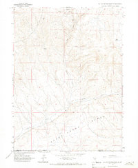
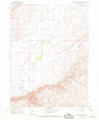
1965 Map of Willow Creek Reservoir SE
USGS Topo · Published 1967About this map
The rugged northern reaches of the Sheep Creek Range define this high-desert landscape in northern Nevada, where the 1960s terrain is marked by a history of mineral exploration. The survey documents several specific extraction sites, including the Old Timers Mine and the Clementine Mine, alongside various unnamed prospects scattered across the ridgelines. This concentration of mines suggests a period of active or legacy prospecting in the hills between the Lander and Eureka county line. Water sources are scarce but critical to the geography, with Little Antelope Creek and Antelope Creek carving drainage patterns through the mountains, supported by isolated points like Mud Spring. The map provides a precise look at the land before major modern developments, preserving the original names of the small-scale mining operations that once dotted these slopes.
Find a feature on this map
11 named features on this map. Tap any name to fly to it.
Don’t see what you’re looking for? This feature index may not catch every label — zoom into the map to look around manually.
Map Details
Editions of this 1965 Willow Creek Reservoir SE Map
This is the sole edition of this map. No revisions or reprints were ever made.
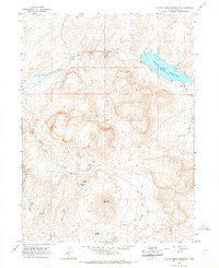
Other maps of this area

1955 · McDermitt
USGS Topo · 1:250,000

1955 · Winnemucca
USGS Topo · 1:250,000

1958 · Winnemucca
USGS Topo · 1:250,000

1959 · McDermitt
USGS Topo · 1:250,000

1962 · Winnemucca
USGS Topo · 1:250,000
1965 · Willow Creek Reservoir
USGS Topo · 1:24,000
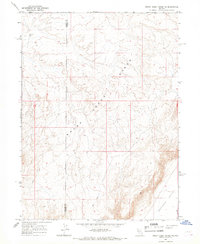
1965 · Sheep Creek Range NE
USGS Topo · 1:24,000
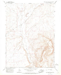
1965 · Sheep Creek Range NW
USGS Topo · 1:24,000
1965 · Squaw Valley Ranch
USGS Topo · 1:24,000
1965 · Rock Creek Ranch
USGS Topo · 1:24,000