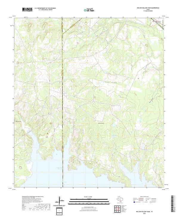
2022 Map of Willow Hollow Tank
USGS Topo · Published 2022About this map
The Choke Canyon Reservoir dominates the southern landscape of this South Texas region, where the Frio River and several drainages converge at the borders of McMullen, Atascosa, and Live Oak Counties. This 2022 survey captures the modern topography of a sparsely populated ranching and water-management landscape defined by named landforms like Opossum Hill and a series of drainage basins including Ursher Hollow and Prairie Hollow.
Find a feature on this map
21 named features on this map. Tap any name to fly to it.
Don’t see what you’re looking for? This feature index may not catch every label — zoom into the map to look around manually.
Map Details
Editions of this 2022 Willow Hollow Tank Map
This is the sole edition of this map. No revisions or reprints were ever made.
Other maps of this area

1920 · Mikeska
USGS Topo · 1:125,000

1925 · Simmons No. 1
USGS Topo · 1:48,000

1925 · Crowther No. 3
USGS Topo · 1:48,000

1925 · Simmons No. 2
USGS Topo · 1:48,000

1927 · Oakville
USGS Topo · 1:62,500

1929 · Simmons
USGS Topo · 1:62,500

1930 · Whitsett
USGS Topo · 1:62,500

1942 · Whitsett
USGS Topo · 1:62,500

1953 · Crystal City
USGS Topo · 1:250,000

1955 · Crystal City
USGS Topo · 1:250,000