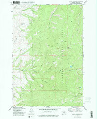
1977 Map of Willow Mountain
USGS Topo · Published 1978About this map
Bitterroot National Forest dominates this Montana landscape, surveyed in the mid-1970s to document the high country of Ravalli County. The area is defined by a network of drainage systems, including North Fork Willow Creek and North Birch Creek, which carve through the steep terrain between Willow Mountain and Skalkaho Mtn. Human activity is primarily limited to resource management and extraction, evidenced by the Willow Mountain Lookout and several scattered sites marked as Mine or Prospect.
Find a feature on this map
33 named features on this map. Tap any name to fly to it.
Don’t see what you’re looking for? This feature index may not catch every label — zoom into the map to look around manually.
Map Details
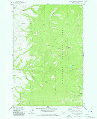
Editions of this 1977 Willow Mountain Map
2 editions found
Other maps of this area

1901 · Hamilton
USGS Topo · 1:125,000

1909 · Sapphire
USGS Topo · 1:125,000

1947 · Butte
USGS Topo · 1:250,000

1956 · Hamilton
USGS Topo · 1:250,000

1958 · Butte
USGS Topo · 1:250,000

1959 · Hamilton
USGS Topo · 1:250,000

1960 · Butte
USGS Topo · 1:250,000

1960 · Hamilton
USGS Topo · 1:250,000

1962 · Butte
USGS Topo · 1:250,000

1964 · Hamilton
USGS Topo · 1:250,000