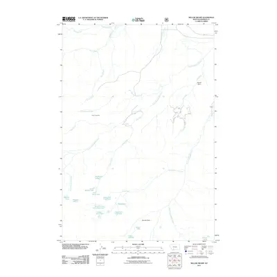
2011 Map of Willow Swamp
USGS Topo · Published 2011About this map
The Spanish Peaks dominate this high-elevation landscape, where a complex network of alpine lakes and drainages feeds the headwaters of the Gallatin River system. Named for their familial proximity, Big Brother Lake, Little Brother Lake, and Little Sister Lake are tucked into the mountain cirques alongside other remote waters like Lake Solitude, Hermit Lake, and the Chilled Lakes. Evidence of mineral interest in the area is localized at the Placer Creek Mine, situated near the confluence of Placer Creek and Willow Swamp Creek. The drainage patterns here are intricate, with North Fork Spanish Creek and South Fork Spanish Creek carving through the terrain. A few Forest Service roads, including FS 364b and FS 364c, provide limited access into the Newell Basin and toward landmarks such as Pioneer Falls on Falls Creek.
Find a feature on this map
32 named features on this map. Tap any name to fly to it.
Don’t see what you’re looking for? This feature index may not catch every label — zoom into the map to look around manually.
Map Details
Editions of this 2011 Willow Swamp Map
This is the sole edition of this map. No revisions or reprints were ever made.
Other maps of this area

1888 · Three Forks
USGS Topo · 1:250,000

1894 · Three Forks
USGS Topo · 1:250,000

1895 · Three Forks
USGS Topo · 1:250,000

1947 · Bozeman
USGS Topo · 1:250,000

1948 · Bozeman
USGS Topo · 1:250,000

1949 · Anceney
USGS Topo · 1:62,500

1949 · Ennis
USGS Topo · 1:62,500

1949 · Norris
USGS Topo · 1:62,500

1950 · Spanish Peaks
USGS Topo · 1:62,500

1951 · Norris
USGS Topo · 1:62,500