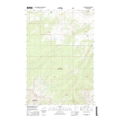
2017 Map of Willow Swamp
USGS Topo · Published 2017About this map
Spanish Peaks and the high northern reaches of the Madison Range dominate this high-elevation landscape within the Gallatin National Forest and Beaverhead National Forest. The area is defined by a dense network of alpine water bodies and drainages, including the eponymous Willow Swamp and its associated Willow Swamp Cr. The hydrology of the region is notably complex, with numerous small lakes such as Big Brother Lake, Lake Solitude, and the Chilled Lakes feeding into various forks of the Cherry Cr and North Fork Spanish Creek. The presence of features like Pioneer Falls and Jerome Rock Lakes illustrates a glaciated terrain where dramatic elevation changes dictate the flow of water through deep basins like Newell Basin. This survey provides a precise look at the land and water patterns in this Madison County wilderness before recent changes in forest management and climate shifted local ecosystems.
Find a feature on this map
39 named features on this map. Tap any name to fly to it.
Don’t see what you’re looking for? This feature index may not catch every label — zoom into the map to look around manually.
Map Details
Editions of this 2017 Willow Swamp Map
This is the sole edition of this map. No revisions or reprints were ever made.
Other maps of this area

1888 · Three Forks
USGS Topo · 1:250,000

1894 · Three Forks
USGS Topo · 1:250,000

1895 · Three Forks
USGS Topo · 1:250,000

1947 · Bozeman
USGS Topo · 1:250,000

1948 · Bozeman
USGS Topo · 1:250,000

1949 · Anceney
USGS Topo · 1:62,500

1949 · Ennis
USGS Topo · 1:62,500

1949 · Norris
USGS Topo · 1:62,500

1950 · Spanish Peaks
USGS Topo · 1:62,500

1951 · Norris
USGS Topo · 1:62,500