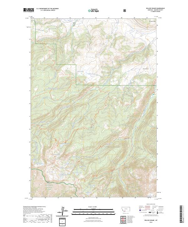
2024 Map of Willow Swamp
USGS Topo · Published 2024About this map
Willow Swamp and the high elevations of the Madison Range characterize this portion of the Gallatin National Forest and Lee Metcalf Wilderness. The landscape is a complex network of alpine hydrology, where Pioneer Falls serves as a prominent landmark along Falls Creek. The area is densely packed with high-elevation water bodies, including Big Brother Lake, Marcheta Lake, and the isolated Lake Solitude.
Find a feature on this map
49 named features on this map. Tap any name to fly to it.
Don’t see what you’re looking for? This feature index may not catch every label — zoom into the map to look around manually.
Map Details
Editions of this 2024 Willow Swamp Map
This is the sole edition of this map. No revisions or reprints were ever made.
Other maps of this area

1888 · Three Forks
USGS Topo · 1:250,000

1894 · Three Forks
USGS Topo · 1:250,000

1895 · Three Forks
USGS Topo · 1:250,000

1947 · Bozeman
USGS Topo · 1:250,000

1948 · Bozeman
USGS Topo · 1:250,000

1949 · Anceney
USGS Topo · 1:62,500

1949 · Ennis
USGS Topo · 1:62,500

1949 · Norris
USGS Topo · 1:62,500

1950 · Spanish Peaks
USGS Topo · 1:62,500

1951 · Norris
USGS Topo · 1:62,500