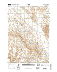
2014 Map of Willowcreek
USGS Topo · Published 2014About this map
Willowcreek and the small settlement of Dennis anchor this high-desert agricultural landscape in eastern Oregon. The region is defined by an intricate network of irrigation, featuring the Vale Oregon Main Canal, Warm Springs Pump Canal, and Gellerman Canal, which divert water to the fertile Willow Creek Valley. This reliance on water management is further evidenced by the Association Reservoir and the numerous named gulches like Alkali Gulch and Haymaker Gulch that carve through the arid terrain.
Find a feature on this map
52 named features on this map. Tap any name to fly to it.
Don’t see what you’re looking for? This feature index may not catch every label — zoom into the map to look around manually.
Map Details
Editions of this 2014 Willowcreek Map
This is the sole edition of this map. No revisions or reprints were ever made.
Other maps of this area

1906 · Mitchell Butte
USGS Topo · 1:125,000

1950 · Jamieson
USGS Topo · 1:62,500

1951 · Moores Hollow
USGS Topo · 1:62,500

1955 · Baker
USGS Topo · 1:250,000

1955 · Boise
USGS Topo · 1:250,000

1958 · Boise
USGS Topo · 1:250,000

1959 · Baker
USGS Topo · 1:250,000

1962 · Boise
USGS Topo · 1:250,000
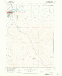
1967 · Vale East
USGS Topo · 1:24,000
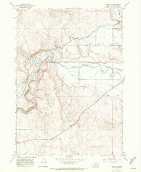
1967 · Vines Hill
USGS Topo · 1:24,000