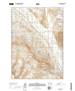
2020 Map of Willowcreek
USGS Topo · Published 2020About this map
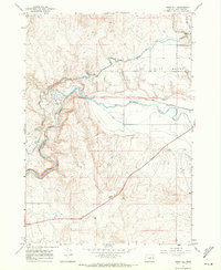
Willowcreek and the nearby community of Dennis occupy a landscape defined by an intricate network of water management in Malheur County. This 2020 record illustrates how the high desert terrain is transformed by the Vale Oregon Main Canal, the Warm Springs Pump Canal, and the Gellerman Canal, which feed agricultural life in the Willow Creek Valley. The historical path of the Old Oregon Trl cuts diagonally through the townships, serving as a reminder of the region's role as a major westward migration corridor. To the south, the Association Reservoir sits among landforms like Fairman Coulee, while the northeastern portion of the map is dominated by the dry, salty expanses of the Alkali Flats and Alkali Gulch. This modern survey provides a detailed look at how historical transport routes and contemporary irrigation infrastructure coexist in the Oregon backcountry.
Find a feature on this map
38 named features on this map. Tap any name to fly to it.
Don’t see what you’re looking for? This feature index may not catch every label — zoom into the map to look around manually.
Map Details
Editions of this 2020 Willowcreek Map
This is the sole edition of this map. No revisions or reprints were ever made.
Other maps of this area
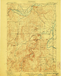
1906 · Mitchell Butte
USGS Topo · 1:125,000
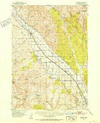
1950 · Jamieson
USGS Topo · 1:62,500
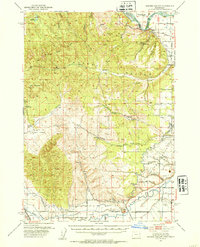
1951 · Moores Hollow
USGS Topo · 1:62,500

1955 · Baker
USGS Topo · 1:250,000
1955 · Boise
USGS Topo · 1:250,000
1958 · Boise
USGS Topo · 1:250,000

1959 · Baker
USGS Topo · 1:250,000
1962 · Boise
USGS Topo · 1:250,000
1967 · Vale East
USGS Topo · 1:24,000
1967 · Vines Hill
USGS Topo · 1:24,000