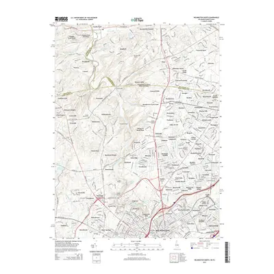
2014 Map of Wilmington North
USGS Topo · Published 2014About this map
Brandywine Creek meanders through this borderland region between Pennsylvania and Delaware, anchoring a landscape where historical crossings like Thompson Bridge and the Iron Bridge define the local geography. In the early 21st century, this area maintains its character through a dense concentration of memorial sites and educational institutions, including Widener University-Delaware Campus and the historic Quaker Meeting Cem. The survey details the transition from the rolling hills of Beaver Valley to the urban northern edge of Wilmington, where major waterworks like Hoopes Reservoir and Porter Reservoir serve the growing population.
Find a feature on this map
233 named features on this map. Tap any name to fly to it.
Don’t see what you’re looking for? This feature index may not catch every label — zoom into the map to look around manually.
Map Details
Editions of this 2014 Wilmington North Map
This is the sole edition of this map. No revisions or reprints were ever made.
Other maps of this area

1890 · Salem
USGS Topo · 1:62,500

1894 · Chester
USGS Topo · 1:62,500

1896 · Chester
USGS Topo · 1:62,500

1898 · Salem
USGS Topo · 1:62,500

1898 · Chester
USGS Topo · 1:62,500

1901 · Camden
USGS Topo · 1:125,000

1901 · West Chester
USGS Topo · 1:62,500

1904 · West Chester
USGS Topo · 1:62,500

1904 · Wilmington
USGS Topo · 1:62,500

1906 · Wilmington
USGS Topo · 1:62,500