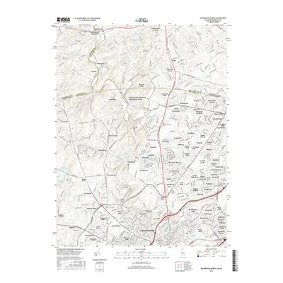
2016 Map of Wilmington North
USGS Topo · Published 2016About this map
Brandywine Creek carves a winding path through this suburban and rural landscape, crossing the state line between Pennsylvania and Delaware. The northern reaches of Wilmington show a dense concentration of civic and spiritual history, anchored by significant burial grounds like Silverbrook Cem and the Wilmington and Brandywine Cem. To the north, the estate culture of the region is evident at Winterthur, while the preservation of the Piedmont valley is codified within the First State National Historical Park. The map documents a complex network of residential developments such as Brandywine and Talleyville, which contrast with the more open terrain near Guyencourt and Cossart. Vital infrastructure, including the Hoopes Reservoir and the tracks of the B & O RR, reveals how the area has managed its water resources and transportation needs as it transitioned from a colonial-era corridor to a modern metropolitan edge.
Find a feature on this map
424 named features on this map. Tap any name to fly to it.
Don’t see what you’re looking for? This feature index may not catch every label — zoom into the map to look around manually.
Map Details
Editions of this 2016 Wilmington North Map
This is the sole edition of this map. No revisions or reprints were ever made.
Other maps of this area

1890 · Salem
USGS Topo · 1:62,500

1894 · Chester
USGS Topo · 1:62,500

1896 · Chester
USGS Topo · 1:62,500

1898 · Salem
USGS Topo · 1:62,500

1898 · Chester
USGS Topo · 1:62,500

1901 · Camden
USGS Topo · 1:125,000

1901 · West Chester
USGS Topo · 1:62,500

1904 · West Chester
USGS Topo · 1:62,500

1904 · Wilmington
USGS Topo · 1:62,500

1906 · Wilmington
USGS Topo · 1:62,500