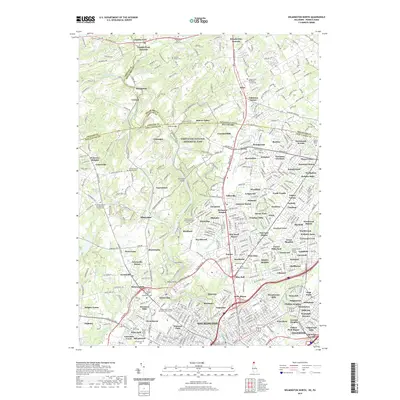
2019 Map of Wilmington North
USGS Topo · Published 2019About this map
Brandywine Creek carves a winding path through the northern suburbs of Wilmington, connecting historical settlements across the Pennsylvania and Delaware border. This 2019 survey documents a landscape where dense residential developments like Talleyville and Brandywood are balanced by expansive green spaces, most notably the First State National Historical Park. For genealogists, the map is remarkably dense with burial sites, ranging from the Wilmington and Brandywine Cem in the city core to smaller, denominational grounds such as the Centre Friends Meeting Cem and the Newark Union Burial Ground. Transportation patterns are clearly defined by the Baltimore Pike and Kennett Pike, which historically linked the mills and hamlets of Chadds Ford and Guyencourt to the urban center, while the Porter Reservoir highlights the critical water infrastructure serving the region.
Find a feature on this map
449 named features on this map. Tap any name to fly to it.
Don’t see what you’re looking for? This feature index may not catch every label — zoom into the map to look around manually.
Map Details
Editions of this 2019 Wilmington North Map
This is the sole edition of this map. No revisions or reprints were ever made.
Other maps of this area

1890 · Salem
USGS Topo · 1:62,500

1894 · Chester
USGS Topo · 1:62,500

1896 · Chester
USGS Topo · 1:62,500

1898 · Salem
USGS Topo · 1:62,500

1898 · Chester
USGS Topo · 1:62,500

1901 · Camden
USGS Topo · 1:125,000

1901 · West Chester
USGS Topo · 1:62,500

1904 · West Chester
USGS Topo · 1:62,500

1904 · Wilmington
USGS Topo · 1:62,500

1906 · Wilmington
USGS Topo · 1:62,500