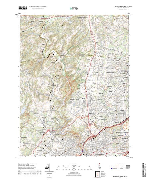
2023 Map of Wilmington North
USGS Topo · Published 2023About this map
Brandywine Creek carves a winding path through this northern New Castle County landscape, defining the transition from the rolling hills of Pennsylvania into the urban northern reaches of Delaware. The map centers on the historical and industrial legacies of the region, anchored by the expansive Nemours estate and the Du Pont de Nemours Cem. Extensive conservation and history are evident in the First State National Historical Park, which spans the state line between Beaver Valley and Granogue. Moving south toward Wilmington, the land becomes densely suburbanized, marked by numerous named neighborhoods like Windsor Hills and Talleyville. Institutional and religious foundations are prominent throughout, from the Widener University School of Law to several historic burial sites, including the Wilmington and Brandywine Cem and the Newark Union Burial Ground.
Find a feature on this map
157 named features on this map. Tap any name to fly to it.
Don’t see what you’re looking for? This feature index may not catch every label — zoom into the map to look around manually.
Map Details
Editions of this 2023 Wilmington North Map
This is the sole edition of this map. No revisions or reprints were ever made.
Other maps of this area

1890 · Salem
USGS Topo · 1:62,500

1894 · Chester
USGS Topo · 1:62,500

1896 · Chester
USGS Topo · 1:62,500

1898 · Salem
USGS Topo · 1:62,500

1898 · Chester
USGS Topo · 1:62,500

1901 · Camden
USGS Topo · 1:125,000

1901 · West Chester
USGS Topo · 1:62,500

1904 · West Chester
USGS Topo · 1:62,500

1904 · Wilmington
USGS Topo · 1:62,500

1906 · Wilmington
USGS Topo · 1:62,500