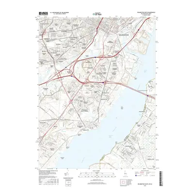
2016 Map of Wilmington South
USGS Topo · Published 2016About this map
The Christina River and Brandywine Creek converge near Wilmington, defining a landscape where industrial infrastructure meets historic residential pockets. This 2016 survey details the complex transportation network south of the city, dominated by the Delaware Memorial Bridges and the New Jersey Tpke crossing into the Delaware New Jersey border region. The map captures a dense cluster of established communities such as Elsmere, Richardson Park, and Brookland Terrace, which reflect the suburban growth of New Castle County.
Find a feature on this map
112 named features on this map. Tap any name to fly to it.
Don’t see what you’re looking for? This feature index may not catch every label — zoom into the map to look around manually.
Map Details
Editions of this 2016 Wilmington South Map
This is the sole edition of this map. No revisions or reprints were ever made.
Other maps of this area

1890 · Salem
USGS Topo · 1:62,500

1894 · Chester
USGS Topo · 1:62,500

1896 · Chester
USGS Topo · 1:62,500

1898 · Salem
USGS Topo · 1:62,500

1898 · Chester
USGS Topo · 1:62,500

1901 · Camden
USGS Topo · 1:125,000

1901 · West Chester
USGS Topo · 1:62,500

1904 · West Chester
USGS Topo · 1:62,500

1904 · Wilmington
USGS Topo · 1:62,500

1906 · Wilmington
USGS Topo · 1:62,500