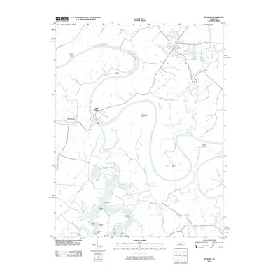
2010 Map of Wilmore
USGS Topo · Published 2010About this map
The Kentucky River carves a deep, winding path through the heart of Jessamine County, defining the landscape around the city of Wilmore. This topographic study reveals a high density of recreation and heritage sites clustered where the river meets its tributaries, particularly near the confluence with the Dix River. The southern portion of the map is notable for numerous riverside encampments and landings, including Castlewood Camp, Hagers Camp, and Chimney Rock Camp, illustrating the area's long-standing role as a central Kentucky destination for outdoor life.
Find a feature on this map
63 named features on this map. Tap any name to fly to it.
Don’t see what you’re looking for? This feature index may not catch every label — zoom into the map to look around manually.
Map Details
Editions of this 2010 Wilmore Map
This is the sole edition of this map. No revisions or reprints were ever made.
Other maps of this area

1905 · Harrodsburg
USGS Topo · 1:125,000

1950 · Bryantsville
USGS Topo · 1:24,000

1952 · Keene
USGS Topo · 1:24,000

1952 · Little Hickman
USGS Topo · 1:24,000

1952 · Nicholasville
USGS Topo · 1:24,000

1952 · Buckeye
USGS Topo · 1:24,000

1952 · Danville
USGS Topo · 1:24,000

1952 · Harrodsburg
USGS Topo · 1:24,000

1952 · Bryantsville
USGS Topo · 1:24,000

1952 · Salvisa
USGS Topo · 1:24,000