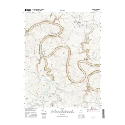
2016 Map of Wilmore
USGS Topo · Published 2016About this map
The Kentucky River carves a dramatic serpentine path through this section of the Bluegrass region, defining the complex borders of Jessamine, Mercer, Woodford, and Garrard Counties. The town of Wilmore serves as a prominent institutional hub, anchored by the campus of Asbury Coll and the Asbury Theological Seminary. The landscape is marked by the sharp relief of the Jessamine Gorge and several major river bends, including Bowmans Bend and Pollys Bend, where the deep water has historically necessitated major engineering feats.
Find a feature on this map
113 named features on this map. Tap any name to fly to it.
Don’t see what you’re looking for? This feature index may not catch every label — zoom into the map to look around manually.
Map Details
Editions of this 2016 Wilmore Map
This is the sole edition of this map. No revisions or reprints were ever made.
Other maps of this area

1905 · Harrodsburg
USGS Topo · 1:125,000

1950 · Bryantsville
USGS Topo · 1:24,000

1952 · Keene
USGS Topo · 1:24,000

1952 · Little Hickman
USGS Topo · 1:24,000

1952 · Nicholasville
USGS Topo · 1:24,000

1952 · Buckeye
USGS Topo · 1:24,000

1952 · Danville
USGS Topo · 1:24,000

1952 · Harrodsburg
USGS Topo · 1:24,000

1952 · Bryantsville
USGS Topo · 1:24,000

1952 · Salvisa
USGS Topo · 1:24,000