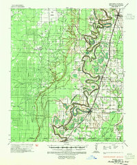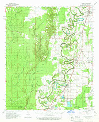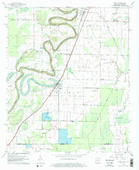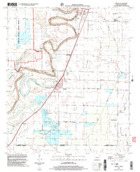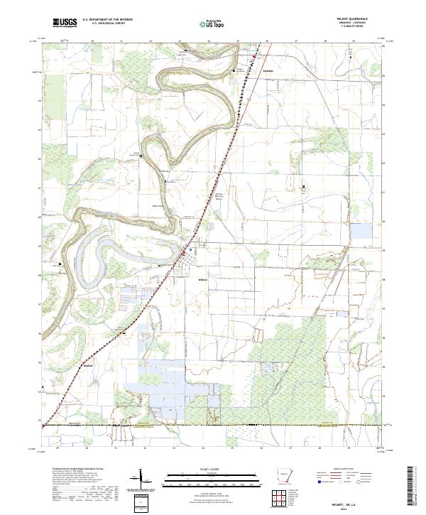
2024 Map of Wilmot
USGS Topo · Published 2024About this map
Bayou Bartholomew winds through this landscape on the border of Arkansas and Louisiana, creating a complex series of oxbows and bends that defined the early settlement patterns of Ashley County. Historic river crossings remain as significant landmarks, including Smith Ferry, Keller Ferry, Eatman Ferry, and Bell Ferry, signaling the era when waterborne transit and local fords were essential to commerce. The town of Wilmot serves as a central hub, surrounded by a dense network of local landmarks such as Wilmot Cem and the Second Baptist Cem.
Find a feature on this map
71 named features on this map. Tap any name to fly to it.
Don’t see what you’re looking for? This feature index may not catch every label — zoom into the map to look around manually.
Map Details
Editions of this 2024 Wilmot Map
This is the sole edition of this map. No revisions or reprints were ever made.
Historical Maps of Louisiana Through Time
5 maps found