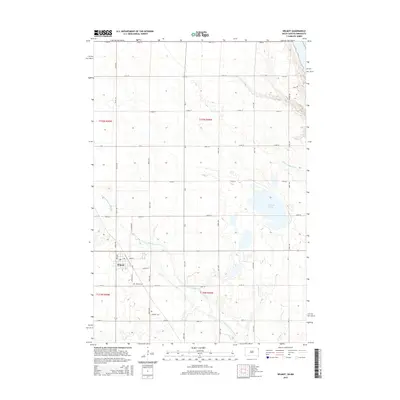
2015 Map of Wilmot
USGS Topo · Published 2015About this map
Wilmot serves as the primary hub of this Roberts County landscape, situated along the N Fork Whetstone River. The town layout is clearly defined by its street grid, including Main St, Charles St, and 5th Ave, showing the local center of commerce and residence in the mid-2010s. To the south, the Wilmot Cem and Catholic Cem provide significant points of interest for genealogical research, while the surrounding terrain is dominated by agricultural sections and drainage patterns flowing toward the Bullhead Lake area. The presence of Hartford Beach Cr in the northeast further illustrates the hydrological network that has shaped the settlement and land use of this South Dakota prairie region.
Find a feature on this map
34 named features on this map. Tap any name to fly to it.
Don’t see what you’re looking for? This feature index may not catch every label — zoom into the map to look around manually.
Map Details
Editions of this 2015 Wilmot Map
This is the sole edition of this map. No revisions or reprints were ever made.
Other maps of this area

1916 · Peever
USGS Topo · 1:62,500

1916 · Beardsley
USGS Topo · 1:62,500

1918 · Peever
USGS Topo · 1:62,500

1918 · Beardsley
USGS Topo · 1:62,500

1953 · Milbank
USGS Topo · 1:250,000

1954 · Big Stone Lake
USGS Topo · 1:62,500

1958 · Milbank
USGS Topo · 1:250,000

1970 · Marvin
USGS Topo · 1:24,000

1970 · Wilmot NW
USGS Topo · 1:24,000

1971 · Corona
USGS Topo · 1:24,000