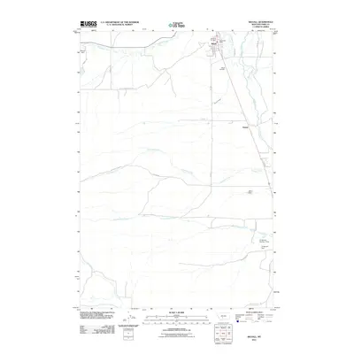
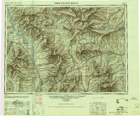
2011 Map of Wilsall
USGS Topo · Published 2011About this map
Wilsall serves as the primary hub in this portion of the Shields River valley, anchored by civic staples like the Wilsall Post Office and the Wilsall Vol Fire Dept. The settlement is positioned near the confluence of Flathead Creek and the Shields River, where the landscape transitions through the dramatic Shields Canyon. To the south, the smaller community of Shields sits along the riverbanks, marking a rural landscape defined by ranching and water management.
Find a feature on this map
32 named features on this map. Tap any name to fly to it.
Don’t see what you’re looking for? This feature index may not catch every label — zoom into the map to look around manually.
Map Details
Editions of this 2011 Wilsall Map
This is the sole edition of this map. No revisions or reprints were ever made.
Other maps of this area
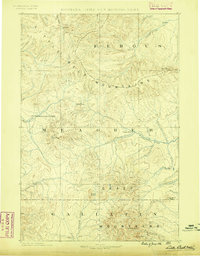
1886 · Little Belt Mts.
USGS Topo · 1:250,000
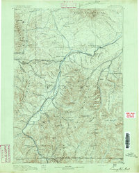
1891 · Livingston
USGS Topo · 1:250,000
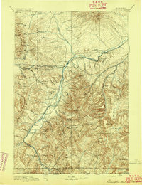
1893 · Livingston
USGS Topo · 1:250,000
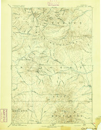
1894 · Little Belt Mts.
USGS Topo · 1:250,000
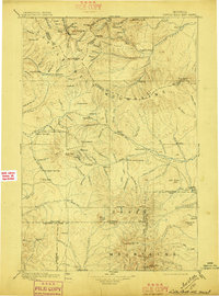
1897 · Little Belt Mts.
USGS Topo · 1:250,000
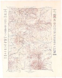
1898 · Little Belt Mts.
USGS Topo · 1:250,000
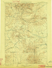
1902 · Little Belt Mts.
USGS Topo · 1:250,000

1947 · Bozeman
USGS Topo · 1:250,000

1948 · Bozeman
USGS Topo · 1:250,000
1948 · White Sulphur Springs
USGS Topo · 1:250,000