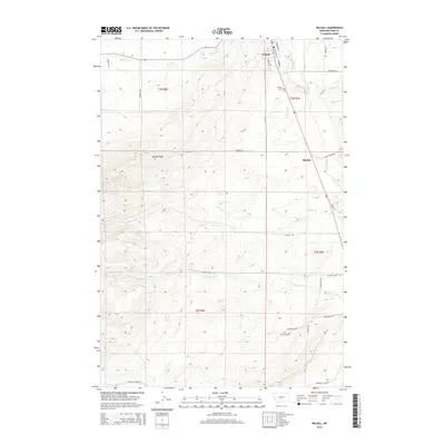
2014 Map of Wilsall
USGS Topo · Published 2014About this map
Wilsall serves as the primary hub in this mountain valley region of Park County, where the high country of Battle Ridge slopes down toward the fertile drainage of the Shields River. The town's grid is clearly defined, featuring a Po and the nearby Wilsall Cem, while the surrounding landscape is marked by a network of seasonal and perennial waterways including Flathead Cr and Looking Glass Cr.
Find a feature on this map
37 named features on this map. Tap any name to fly to it.
Don’t see what you’re looking for? This feature index may not catch every label — zoom into the map to look around manually.
Map Details
Editions of this 2014 Wilsall Map
This is the sole edition of this map. No revisions or reprints were ever made.
Other maps of this area
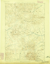
1886 · Little Belt Mts.
USGS Topo · 1:250,000
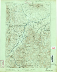
1891 · Livingston
USGS Topo · 1:250,000
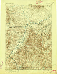
1893 · Livingston
USGS Topo · 1:250,000
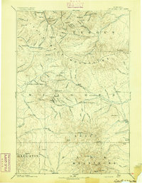
1894 · Little Belt Mts.
USGS Topo · 1:250,000
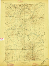
1897 · Little Belt Mts.
USGS Topo · 1:250,000
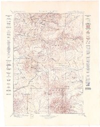
1898 · Little Belt Mts.
USGS Topo · 1:250,000
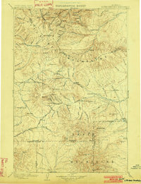
1902 · Little Belt Mts.
USGS Topo · 1:250,000
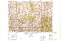
1947 · Bozeman
USGS Topo · 1:250,000
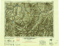
1948 · Bozeman
USGS Topo · 1:250,000
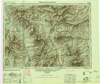
1948 · White Sulphur Springs
USGS Topo · 1:250,000