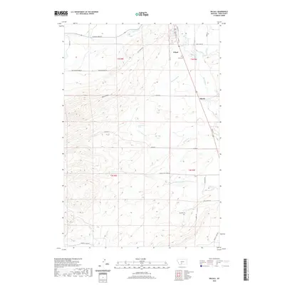
2020 Map of Wilsall
USGS Topo · Published 2020About this map
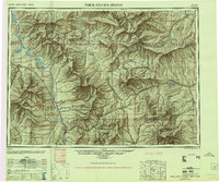
Wilsall and the smaller settlement of Shields anchor the landscape where the Shields River valley meets the rising slopes of Battle Ridge. This Montana terrain is defined by a dense network of mountain drainage, with Flathead Cr and Horse Cr flowing from the northeast while Antelope Cr and Looking Glass Cr descend from the west. The local infrastructure follows these natural corridors, with Shields Canyon providing a passage through the higher elevations. Cultural landmarks like the Wilsall Cem and named thoroughfares such as Brackett Creek Rd and Wid Horse Rd trace the settlement patterns established in this part of Park County. The map provides clear evidence of how the township and range system, including t3n r8e and t2n r9e, organized the valley's development around its primary waterways.
Find a feature on this map
30 named features on this map. Tap any name to fly to it.
Don’t see what you’re looking for? This feature index may not catch every label — zoom into the map to look around manually.
Map Details
Editions of this 2020 Wilsall Map
This is the sole edition of this map. No revisions or reprints were ever made.
Other maps of this area
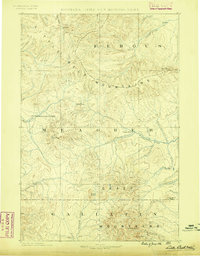
1886 · Little Belt Mts.
USGS Topo · 1:250,000
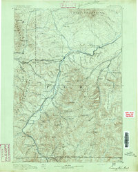
1891 · Livingston
USGS Topo · 1:250,000
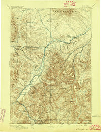
1893 · Livingston
USGS Topo · 1:250,000
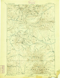
1894 · Little Belt Mts.
USGS Topo · 1:250,000
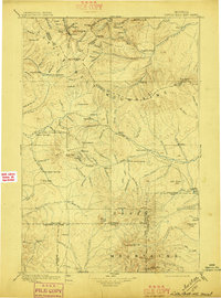
1897 · Little Belt Mts.
USGS Topo · 1:250,000
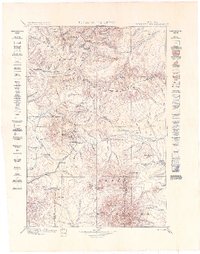
1898 · Little Belt Mts.
USGS Topo · 1:250,000
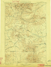
1902 · Little Belt Mts.
USGS Topo · 1:250,000

1947 · Bozeman
USGS Topo · 1:250,000

1948 · Bozeman
USGS Topo · 1:250,000
1948 · White Sulphur Springs
USGS Topo · 1:250,000