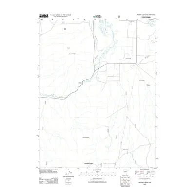
2012 Map of Wilson Canyon
USGS Topo · Published 2012About this map
Wellington Springs anchors the southern reaches of this Lyon County landscape, where the high desert terrain of the Singatse Range and Pine Grove Hills meets the agricultural vitality of the Mason Valley. The West Walker River carves a path through the dramatic Wilson Canyon, creating a corridor for both water and transport that has long defined local geography.
Find a feature on this map
35 named features on this map. Tap any name to fly to it.
Don’t see what you’re looking for? This feature index may not catch every label — zoom into the map to look around manually.
Map Details
Editions of this 2012 Wilson Canyon Map
This is the sole edition of this map. No revisions or reprints were ever made.
Other maps of this area

1891 · Wellington
USGS Topo · 1:125,000

1893 · Wellington
USGS Topo · 1:125,000

1948 · Walker Lake
USGS Topo · 1:250,000

1956 · Desert Creek Peak
USGS Topo · 1:62,500

1957 · Walker Lake
USGS Topo · 1:250,000

1957 · Wellington
USGS Topo · 1:62,500

1957 · Yerington
USGS Topo · 1:62,500

1958 · Pine Grove Hills
USGS Topo · 1:62,500

1962 · Walker Lake
USGS Topo · 1:250,000

1964 · Walker Lake
USGS Topo · 1:250,000